
Our front porch stairs, in a historical photo shared with us by relatives of the Volk family.
There is a website that lets you look at your property from the air, year by year, going back to the early 1950s. It is called Historic Aerials and it is one of those tools that starts as a quick curiosity and turns into an hour of your afternoon.
We have been playing with it lately, looking at our own block in Sellwood. By 1952 the neighborhood was already largely built out, our 1908 Craftsman sitting where it always has. By 1996 the property to our south had been divided and a two unit townhome had appeared where there had been open yard. Watching that change happen one decade at a time was genuinely fascinating. You start to understand your neighborhood in a different way when you can see how it actually grew.
How Historic Aerials Works
Go to historicaerials.com and type in any address. The site pulls up an interactive map with a timeline on the left side showing every year for which aerial imagery exists at that location. For the Portland metro, coverage typically goes back to 1952, with images available for 1955, 1956, 1960, 1970, 1981, 1994, 2000, 2002, 2005, 2009, 2011, and up through recent years. Click any year and the map updates instantly.
The earlier images are black and white and grainy enough to be evocative. The later ones shift to color and increasingly sharp resolution. What you are watching, year by year, is your neighborhood filling in, trees growing, additions appearing, lots being subdivided, and sometimes whole blocks transforming in ways you would never have guessed from the street.
The free version has a watermark across the imagery but is perfectly usable for casual exploration. A subscription removes the watermark and gives you access to additional tools.
What You Can Actually Learn
A few things Historic Aerials is genuinely useful for:
Confirming when a structure was built. If your permit records are incomplete or the listing history is unclear, aerial imagery can help you narrow down when something appeared on a property. If it shows up between 1970 and 1981, you have a reasonable range.
Understanding lot history. Portland has seen a lot of lot splits and subdivisions over the decades, especially as middle housing has expanded. Aerial imagery shows you exactly when a parcel changed shape. We could see clearly that the townhome south of our property appeared between 1994 and 2000, which we later confirmed was built in 1996.
Seeing what was there before. Some Portland lots that look like they have always had a house on them were actually vacant land, nurseries, or orchards within living memory. The 1952 and 1955 images in particular can reveal a very different landscape underneath the neighborhood you know.
Satisfying pure curiosity. This one does not need justification.
What Google Maps Street View Can Show You
Google Maps has its own time travel feature, though it works differently and goes back much less far.
In Street View, once you are looking at your address, look for "See more dates" in the upper left corner just below the address. Clicking that opens a timeline of every Street View image available for that location going back to roughly 2007.
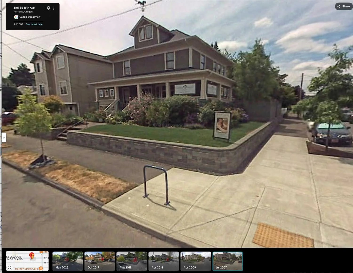
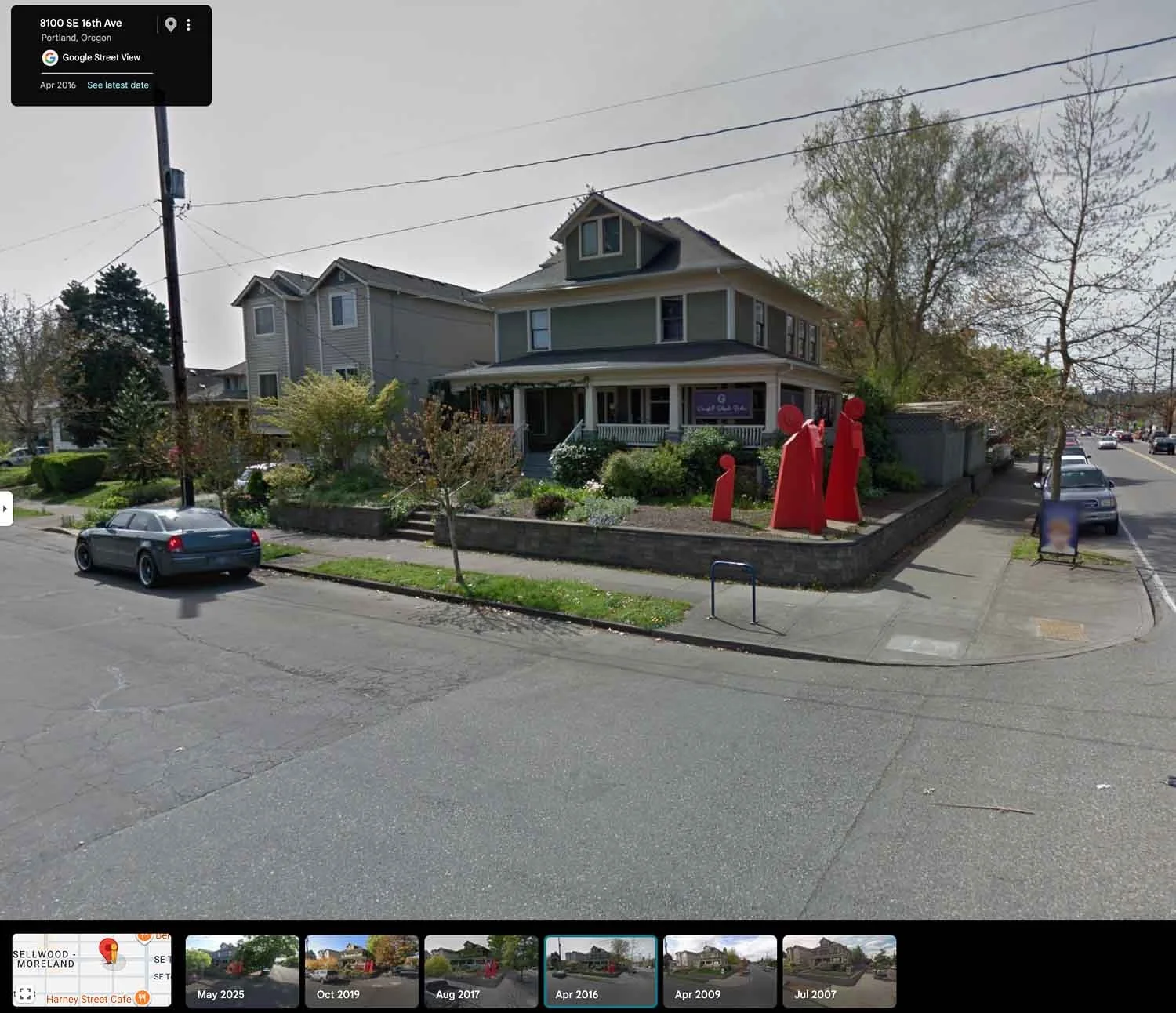
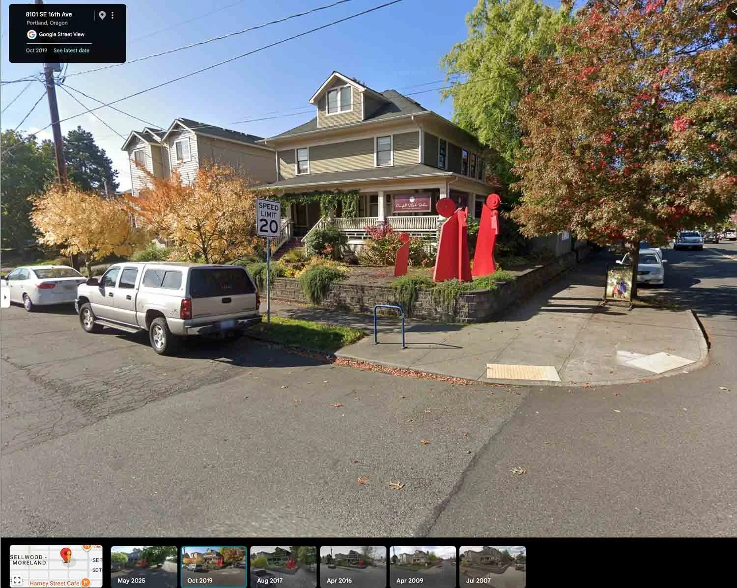
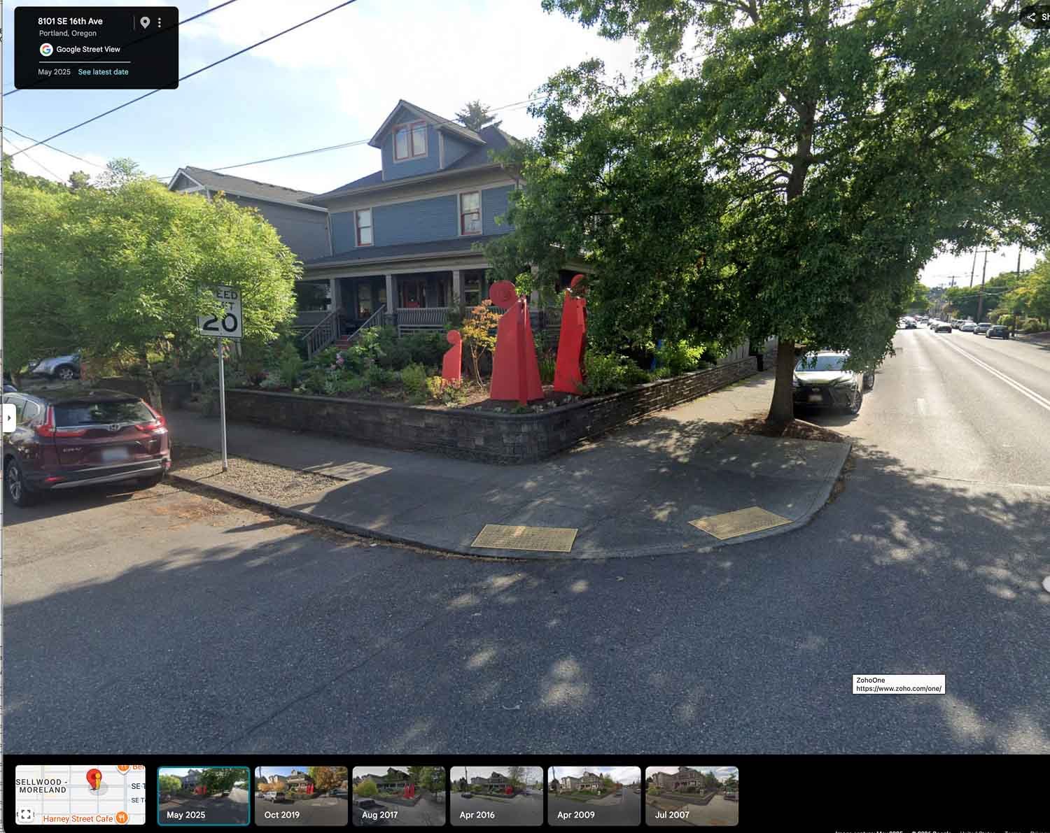
For our office building at 8101 SE 16th Ave in Sellwood, Google has images going back to July 2007. The house itself has not changed much in structure since it was built in 1908, but the story the Street View images tell is in the details. The 2007 image shows a manicured lawn and a photography studio sign out front. By 2019 Francisco's sculptures had taken over the garden and the building had become our real estate office. By 2025 the paint had changed to the blue gray it is today and the garden had filled in considerably around the sculptures.
None of those changes show up on Historic Aerials because it works from above rather than street level. The two tools together give you a surprisingly complete picture of how a property has changed over time.
Two Different Tools, Two Different Angles
Historic Aerials goes deep in time but looks straight down. Google Street View goes back only to 2007 but puts you at eye level on the street. Used together they answer different questions about the same property.
If you want to know when a garage was added, whether a lot was once larger, or what stood on a corner before the current building, Historic Aerials is your tool. If you want to watch a garden grow, see what a storefront used to look like, or check how a neighborhood street has changed in feel over the past fifteen years, Street View gives you that.
A Good Rabbit Hole for a Slow Afternoon
If you own a home in Portland, or are thinking about buying one, spending twenty minutes with Historic Aerials on your address of interest is time well spent. You might learn something useful about the property. You will almost certainly learn something interesting about the neighborhood. And you may find yourself still there an hour later, having somehow ended up looking at what your childhood home looked like in 1960.
That has happened to us. We are not sorry about it.
Looking for the Right Portland Neighborhood?
Portland neighborhoods vary more than most people expect. Our guide tothe best Portland neighborhoodscovers the city's main areas by location, character, and what it is actually like to live there.


Curious About Portland's Neighborhoods?
We have spent years exploring every corner of this city and built Portland neighborhood guides to share what we know. If you are trying to figure out where you fit in Portland, that is a good place to start.
Kim Campbell, Realtor | PSA, RENE | Licensed Oregon Broker
Francisco Salgado, Realtor | MCNE, EA | Licensed Oregon and Washington Broker
Campbell Salgado Real Estate Group with Soldera Properties