
How to Make Sense of Portland
The City's Layout and the Best Ways to Explore It on Foot
Portland is easier to understand once you know two things: where the Willamette River is, and where Burnside Street crosses it.
The Willamette runs north to south through the city, dividing Portland into its east and west sides. Those two sides have distinct personalities that go well beyond geography, and people often find themselves drawn to one or the other before they even fully understand why.
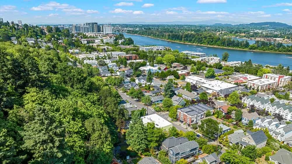
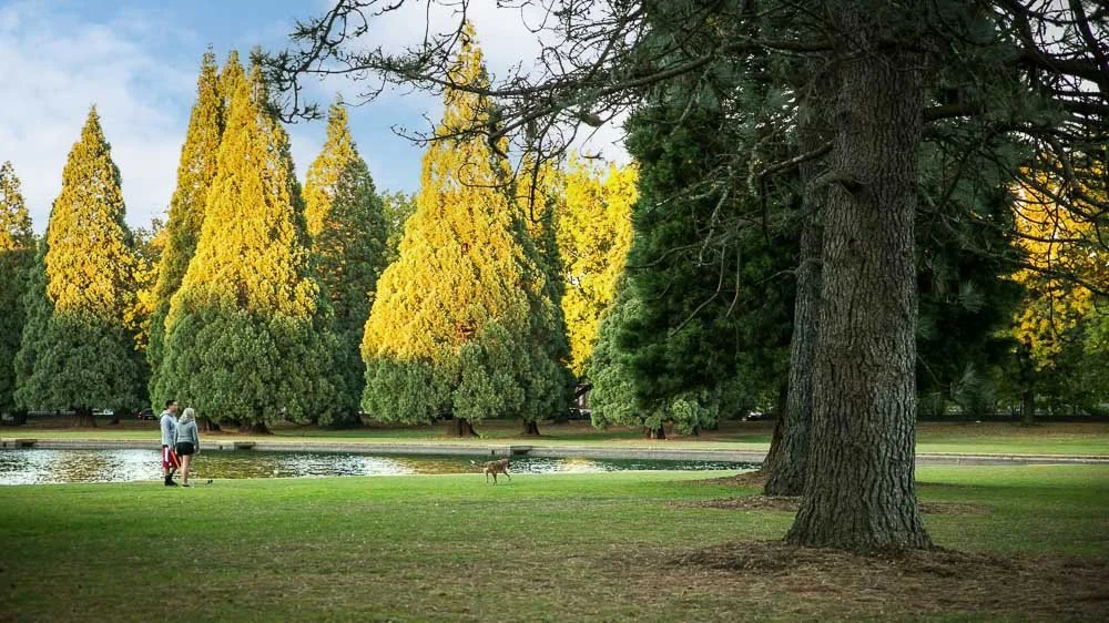
The west side sits against the West Hills, which means elevation, views, and winding roads that do not follow a grid. It tends toward older money, more formal architecture, and a quieter residential character. The neighborhoods closest to downtown, like the Pearl District and Nob Hill, are dense and walkable. Get further up the hills into areas like Portland Heights or Arlington Heights and the terrain gets steep, the houses get larger, and the feel shifts toward the kind of place where people open bottles of Willamette Valley Pinot Noir on weeknights. The west side is also home to Washington Park, the International Rose Test Garden, the Japanese Garden, and the Oregon Zoo, all concentrated in one forested hillside that most cities would consider a major asset.
The east side is flatter, more gridded, and in many ways more varied. It grew along streetcar lines in the early twentieth century, which is why so many eastside neighborhoods still have walkable commercial strips anchored by old retail buildings. The exceptions to the flat terrain are notable: Mt. Tabor is an actual extinct volcano rising out of the southeast grid, and the neighborhoods around it reflect that character. But most of the inner eastside, from Irvington and Beaumont-Wilshire in the northeast to Sunnyside, Hosford-Abernethy, and Sellwood in the southeast, is genuinely flat and easy to walk.
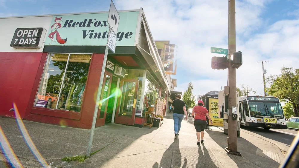
The eastside is also where much of Portland's independent food culture has taken root. A significant number of the city's most recognized chefs have opened restaurants on the east side, particularly along Division Street, Alberta, and in the Central Eastside. It is the part of the city that tends to draw the craft beer crowd, the food-focused buyer, and people who want a neighborhood with an actual local identity rather than a polished retail corridor.
Neither side is objectively better. They are genuinely different, and which one appeals to you often comes down to whether you want hills and wine country proximity or flat streets and a walkable food scene.
Burnside Street cuts east to west across the city, and that line defines whether an address falls north or south of center. Cross the river and cross Burnside, and you have four quadrants: Northwest, Southwest, Northeast, and Southeast. Then there is North Portland, which sits above the confluence of the Willamette and Columbia rivers and operates somewhat on its own terms, with neighborhoods like St. Johns and Piedmont that have a distinct, less-trafficked character.
This grid is not just useful for navigation. It tells you a lot about what a neighborhood feels like, how it developed, and what it tends to cost. Once you have that framework in your head, exploring Portland on foot starts to make a lot more sense. Curious which Portland neighborhood might fit your lifestyle best? Check out our find your Portland neighborhood quiz here to find out.
Why walking is one of the best ways to understand a neighborhood
You can look at a neighborhood on a map and read every statistic available, but a thirty-minute walk will tell you things that data cannot. What is the tree canopy like? Are the sidewalks consistent? Are people outside? Is the commercial strip walkable from the residential streets, or do you need a car to get anywhere? Are there families, older residents, younger renters, or a mix?
If you are thinking about buying in Portland, walking the neighborhoods you are considering is genuinely useful homework. It shifts the question from "does this neighborhood have good numbers" to "do I actually want to live here."
Guided walks with the Architectural Heritage Center
One of the most underutilized resources in Portland is the Architectural Heritage Center, based at 701 SE Grand Avenue. From March through November, they run guided walking tours of historic neighborhoods throughout the city, led by historians and preservation specialists who know the built environment in real depth.
Recent and upcoming tours cover a wide range of neighborhoods: Ladd's Addition, Irvington, the Pearl District, Hawthorne (Sunnyside), Laurelhurst, Mt. Tabor, the South Park Blocks, Skidmore Old Town, and others. Some tours focus on residential architecture and neighborhood development. Others go deeper into specific communities or cultural histories, like the Chinatown and Japantown tour, the Volga German churches and homes of Albina, or a tour of Native American public art through downtown.
Tours are two hours and approximately $25 per person, most start at 10 AM, and they do sell out. If you are relocating to Portland or seriously considering a neighborhood, attending one of these tours is a genuinely good use of a Saturday morning. You leave knowing things about a place that you simply would not have found on Zillow.
You can see the full schedule at the Architectural Heritage Center website.
Other ways to explore Portland on foot
The AHC tours are structured and historical. But there are other ways to use walking as a research tool.
Around Portland Tours runs several guided options, including a "Soul of the City" downtown walk focused on art, architecture, and culture, a chocolate and coffee tour, a coffee roasters tour on the inner eastside, and a Forest Park hiking option that starts in Northwest Portland. Their eastside tours in particular are good for understanding the industrial-to-residential transformation that shaped neighborhoods like the Central Eastside, and the coffee roasters walk is a good excuse to spend a morning in one of the more interesting corners of the city.
The Portland Bureau of Transportation has published a set of free downloadable walking routes through various neighborhoods, including Concordia, Cully, the Jade District, Reed College, and St. Johns. These are practical, well-mapped routes with turn-by-turn directions and mileage. They are not tours in the traditional sense but they are useful if you want to walk a neighborhood systematically rather than just wandering.
For people who prefer to go at their own pace with some structure, the GPSmyCity app has several Portland routes that guide you through the city via GPS, with context about what you are looking at along the way.
A few neighborhoods worth walking
If you are using walks as a way to understand where you might want to live, here are a few that tend to change people's thinking.
Ladd's Addition in Southeast Portland’s Richmond neighborhood is one of the only neighborhoods in the city laid out on a diagonal grid, with a central rose garden and four smaller rose gardens at each quadrant intersection. It reads completely differently in person than it does on a map. The housing stock is early twentieth century and well maintained, and the neighborhood sits in a flat part of the southeast that is easy to walk in every direction.
Irvington in Northeast Portland is one of the city's most architecturally intact residential neighborhoods, with a range of home styles from the 1890s through the 1930s along a fairly consistent street grid. The AHC runs multiple Irvington tours because there is genuinely that much to see. It is also a good neighborhood to walk if you are curious about what the northeast looks and feels like at a residential scale.
Sellwood in Southeast Portland sits along the river and has a small-town commercial corridor that functions as an actual neighborhood center. It is also close to Milwaukie, which is worth walking separately if you are weighing Portland proper against the inner suburbs.
The Pearl District on the west side illustrates a different kind of Portland development. What was a warehouse district a few decades ago is now one of the city's densest residential and retail corridors. Walking it alongside Nob Hill to the northwest gives you a good contrast between two very different kinds of urban living, and helps illustrate why some buyers are drawn to the west side's more polished infrastructure while others find the eastside's texture more interesting.
What walking actually tells you about buying
When buyers come to us having already spent time in the neighborhoods they are considering, the conversations we have are almost always more productive. They have specific questions. They have already ruled some areas out and have a clearer sense of what they are actually looking for.
Portland is a city where neighborhood identity is real and matters. Two addresses that look similar on paper can feel very different on foot. The river, Burnside, and the quadrant system give you the map. Walking gives you the city.
If you are trying to figure out where you fit in Portland, we are happy to talk through what different neighborhoods tend to offer and what questions are worth asking before you decide. No pressure, just a conversation.
Looking for the Right Portland Neighborhood?
Portland neighborhoods vary more than most people expect. Our guide tothe best Portland neighborhoodscovers the city's main areas by location, character, and what it is actually like to live there.


Ready to Explore Portland With Someone Who Knows It Well?
Understanding a city's layout is a good start. Understanding which streets, blocks, and neighborhoods actually fit how you want to live is where the real work begins. Kim and Francisco have lived and worked in Portland for decades. They know the difference between neighborhoods that look similar on paper and feel completely different once you're in them. If you're trying to figure out where you belong in this city, that kind of local knowledge matters. Call or text us at 503-951-8547.
Kim Campbell, Realtor | PSA, RENE | Licensed Oregon Broker
Francisco Salgado, Realtor | MCNE, EA | Licensed Oregon and Washington Broker
Campbell Salgado Real Estate Group with Soldera Properties